Gamolon
Master Poster
- Joined
- Dec 6, 2006
- Messages
- 2,702
Nah.BECAUSE YOU ARE USING POOP-POOR IMAGES!
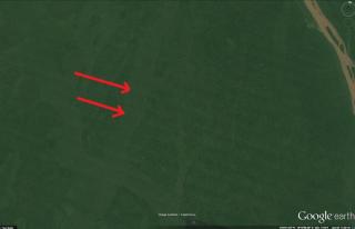
You just don't like the fact that you have been shown that your "plow line" theory is nothing more than lines created from image placement.
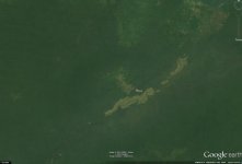
Why do the lines in my image match the "plow lines" of your image?