DC
Banned

- Joined
- Mar 20, 2008
- Messages
- 23,064
lol
so now you are saying short sentences with big implications that make no sense? I SAID that at first, but was apparently wrong.
And what is your point here? You ask a question and are given answers. Are you learning anything, or what?
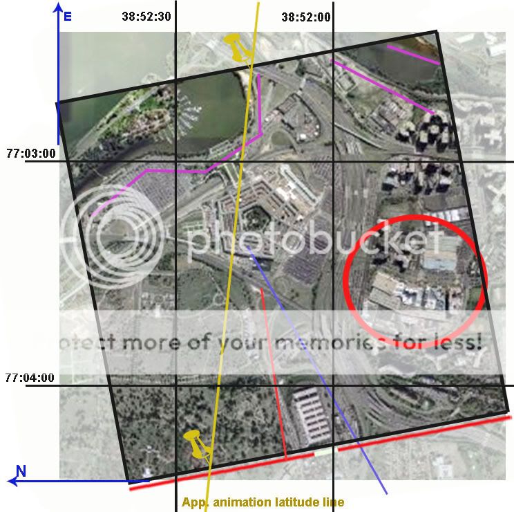
Beachnut: I checked here:
http://www.ngdc.noaa.gov/geomagmodels/struts/calcDeclination
I entered Latitude: 38 52 15 N Long 77 03 30 W, for 9/11/2001, and it says
Declination = 10° 35' W changing by 0° 1' W/year
Isn't 35 out of 60? So this means I was wrong with 10.08, it's more like 10.6! That's even further from 9 as you say. And still the map is set only app 7 deg skewed from the grid. Are we just quibbling here?
my post was actually not directed at you.
afaik did NTSB creat that animation.