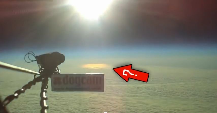
You're assuming a flat Earth again.
Factually Incorrect, No 'Assumptions' necessary; I
KNOW the Earth is Flat...
1. Flight: Since the Earth is, as we're TOLD, a Sphere 25,000 miles in circumference ---radius 3959 miles, then Pilots traveling @ a typical cruising speed of 500 mph --- to simply maintain altitude, would constantly have to adjust their altitude downwards, (to Compensate for the Curvature) and descend 2,777 feet over half a mile every minute !!!
500 miles
2 x 8 inches/12 inches = 166,666 Feet of curvature ---Total Drop needed in one hour to Maintain Altitude.
flatearthwiki.com/index.php?title=Earth%27s_Curvature (AutoCAD 2015)
166,666 feet/60 minutes = 2777 feet per minute altitude descent to Maintain Altitude.
A flippin Roller Coaster would be placid serenity in comparison. The nose of the plane on a typical flight would never get above horizontal, save for takeoff.
2. nasa and FAA agree...
"nasa" filing reports for flying in a "stationary atmosphere over a flat, nonrotating earth"...
"Concluding Remarks:
This report derives and defines a set of linearized system matrices for a rigid aircraft of constant mass, flying in a stationary atmosphere over a flat, nonrotating earth."
NASA Reference Publication 1207, 1988.
Duke, E.L. et al: Derivation and Definition of a Linear Aircraft Model: Ames Research Center Dryden Flight Research Facility National Aeronautics and Space Administration Edwards, California, January 8, 1987; pg. 30
ntrs.nasa.gov/archive/nasa/casi.ntrs.nasa.gov/19890005752.pdf
Why would "nasa" sponsor/FUND a 100 page report (including appendices) regarding flying in a stationary atmosphere over a FLAT, nonrotating earth if we live on a "Spinning Ball" pray tell??
What's next, a 150 page report flying a rigid aircraft of constant mass over a wobbling Dodecahedron ?
FAA:
Please Explain why the FAA is discussing (FLAT EARTH) in: ASSESSING THE VALIDITY OF USING ACTUAL NAVIGATION PERFORMANCE (ANP) INFORMATION FOR SUPPORTING DESIGNATED FLIGHT INSPECTION OPERATIONS; TECHNICAL MEMORANDUM OU/AEC 08-12TM15689/0004-1,
pg. 32 & 33
www.faa.gov/air_traffic/flight_info/avn/flightinspection/onlineinformation/pdf/TM_08-12_AVN_ANP_Final_Report.pdf
3. Navy Rail Gun: "Projectile" travels @ 5,600 mph (Mach 7!!)...
"The 6-inch guns that the Navy currently uses have a range of 15 miles; the 16-inch guns of World War II had a range of 24 miles, and could penetrate 30 feet of concrete. The 38-foot railgun, though, has a
range of 125 miles, five times the impact, and can shoot through seven steel plates."
rare.us/story/the-navy-just-unveiled-the-first-video-of-their-new-railgun-in-action-and-it-is-awesome/
This is a "Line of Sight" (LOS) Weapon. With a more than 'Generous' Deck/Rail Height of 100 Feet above Sea Level, a target @ 125 miles on our 'alleged' "Spinning Ball" with a radius of 3959 miles will be hidden behind 8476 Feet (1.6 MILES!) of Water/Earth Curvature!
The Horizon @ 100 ft elevation is @
12.25 Miles.
The 'Bulge' height is
2604 feet.
Target Hidden Height is
8,476 feet.
Calculator:
www.metabunk.org/curve/
Ergo, Please explain how a Non Self Propelled "Projectile" ( A "BULLET") can negotiate a "Bulge Height" of 2604 feet (ascent then descent) traveling @ Mach 7 (lol) and hit a target that's hidden behind 8,476 feet of curvature without violating every Ballistics/Physical Law (and common sense) known to mankind ....?
if you are testing the theory of a circular Earth...
Non-Sequitur Fallacy: There is no "Scientific Theory" of a circular Earth. Scientific Theories EXPLAIN "The How" (Mechanisms/Process).
And "Mathematics" aren't
TESTS. If so, what's the Independent Variable...the color of the calculator...?

The geometry changes for a curved Earth.
Yes it surely does. Can you explain this...
"Salar de Uyuni [Bolivia] is the world's largest salt flat at 10,582 square kilometers (4,086 sq mi).... The Salar was formed as a result of transformations between several prehistoric lakes. It is covered by a few meters of salt crust, which has an
extraordinary flatness with the average altitude variations within
one meter over the entire area of the Salar....The large area, clear skies, and the exceptional flatness of the surface make the Salar an ideal object for calibrating the altimeters of Earth observation satellites.[4][5][6][7]
en.wikipedia.org/wiki/Salar_de_Uyuni
"The salar de Uyuni in the Bolivian Andes is the largest salt flat on Earth, exhibiting less than
1 m of vertical relief over an area of 9000 km2" ..."Longer wavelengths in the DEM [Digital Elevation Model] correlate well with mapped gravity, suggesting a connection between broad-scale salar topography and the geoid similar to that seen over the oceans."
Borsa A. A., et al: Topography of the salar de Uyuni, Bolivia from kinematic GPS; Geophysical Journal International Volume 172, Issue 1, p. 31-40
gji.oxfordjournals.org/content/172/1/31.full
1. From North to South, Salar de Uyuni [Bolivia] is 68.44 miles -- which ='s 3123.24 Feet of Curvature. That's a bit more than 1 meter...it's
951 METERS !!!
Salar Flooding:
"The depth of inundation is quite variable from year to year, with the surface remaining nearly dry in some years and
completely flooded for
several months in others."
Borsa A. A., et al: Modeling the topography of the salar de Uyuni, Bolivia, as an equipotential surface of Earth’s gravity field; Journal of Geophysical Research, Vol. 113, B10408, doi:10.1029/2007JB005445, 2008
onlinelibrary.wiley.com/doi/10.1029/2007JB005445/pdf
2. You do understand that liquids (water) "flow", right? How on Earth can the Salar be completely flooded (For Several Months!!), "A Mirror" of standing water on a Ball...Magic Water? Or is it your contention that "Nature" created a Leveled Straight Edge that spans 10,000 sq km's on a Ball ???
You can have many Topographical Features on a "Sphere": Mountains, Depressions, Ridges, Saddles ect ect...but what you
can't have are Geometrically Flat Planes!!!
regards


 You must be a Pilot.