*snipped* condascending bs from a person who is continually being torn to shreds by professional pilots who actually know what they are talking about..anyway..go on..
*snipped*..as above...go on..
So, you can take one measurement device, for example the INS positional value in the Warren decode and it will have a different average and spread than say the DCA ASR positional values. That means to find the average that actually represents reality, it is best to use an average based on ALL of the available measurement systems, and of course that mean old spread is going to still be there so it has to be estimated as well.
As I said before, this ´spread´ which, I take it slides to the South, makes the possibility of making this shadow over Paik´s shop even MORE physically impossible.
As does your path.
Now eyewitnesses are simply measurement devices with their own unique problems with precision and accuracy (very poor), but they can be used to get a rough path estimate. But remember that spread? What CIT has done is before the Annex area, they used ONLY witnesses from the south side of the suspected flight path.
Wow, do you know of others who refute them? I mean, you must or you wouldn´t bring that point up.
This ´rough path estimate´ you talk of. You DO know that ALL witnesses on record within the NOC area corraborrated to the very basic placement of the plane on the North side of the Citgo Gas Station? That´s a pretty heavy ´spreadsheet´ of data pointing to only one conclusion.
On the other hand, that spreadsheet is looking pretty piss-poor on the South of Citgo placement...but go on..
So, in that area the average skewed to the south because only that side of the spread was being measured.
Can´t wait to see those other ´southside´ witness interviews.
After the Sheraton, they have taken ONLY those on the north side of the suspected path which skewed the average to the north side of the path because only that half of the spread was being considered.
As above..
Now, IF and only if they had taken eyewitness accounts from BOTH sides of the suspected (official path as they like to call it), then they would have been able to average those accounts and the average would be a better representation.
Who exactly was ON the southside to be interviewed? And from what vantage point?
The drivers on the I-395 motorways? Some of them described a right-bank or that the plane flew over the Annex (we won´t include them eh?). MANY described losing view of the plane from the far lanes.
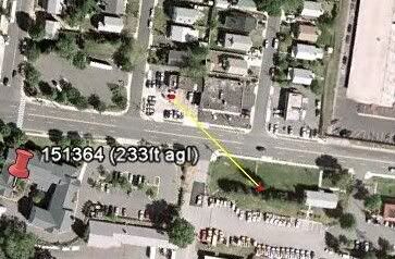
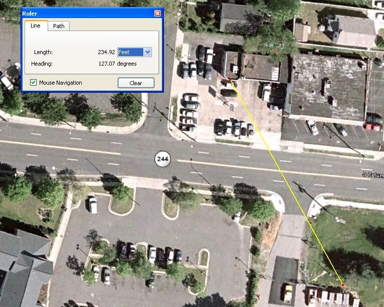
One witness who was in the region of the southern approach path springs to mind. Levi Stephens. HE placed the plane ´closer to Arlington Cemetary´. NOC.
PennyElgas also springs to mind. She placed the plane ´to the side of and not much above the (Citgo) gas station´
Sean Boger was literally between the two paths.
Go on..
So mudlark, you and CIT are dismissing all of that stuff they tried to teach you in high school science lab and presenting measurements taken ONLY on the north half of the suspected path (hint: overwhelming majority of the CIT witnesses point south).
Lie (I can tell what ´schooling´ you had)

Go on..
If you disregard the scientific approach to measuring things, then how can any of you claim (as CIT does) to be using the scientific approach? Please, come back to reality soon. I hope this has been clear enough for you without any techobabble. I don't think I can simplify it any further for you.
You´ve made it perfectly clear BCR.
You have no witnesses who counter the NOC claims. None.
That´s a pretty conclusive spreadsheet.