GregoryUrich
Graduate Poster
- Joined
- May 16, 2007
- Messages
- 1,316
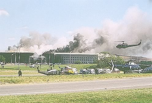
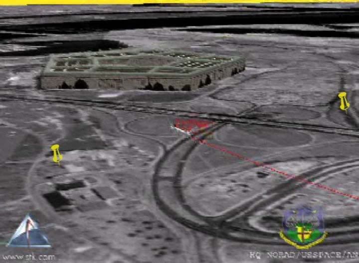
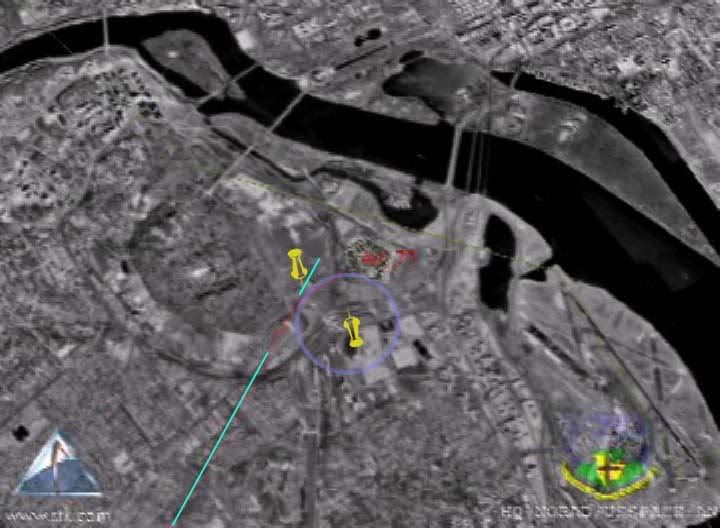
According to Mackey the VDOT tower is 3400 ft from impact. At 781 ft/sec that gives us 4.35 seconds. The range you have given for the altitude at that point is 400-440 ASL. At the lower bound, the average fps (based on the impact point, 39 ASL) would be 82. At the upper bound the average fps would be 91.2. What does the FDR fps data average out to over the last 3.5-4.5 seconds? I get 70 fps from the data you posted on the other thread, but that's not the entire time interval.


") So they also cite 9:37:44. Hmmm... what to conclude?
So they also cite 9:37:44. Hmmm... what to conclude?