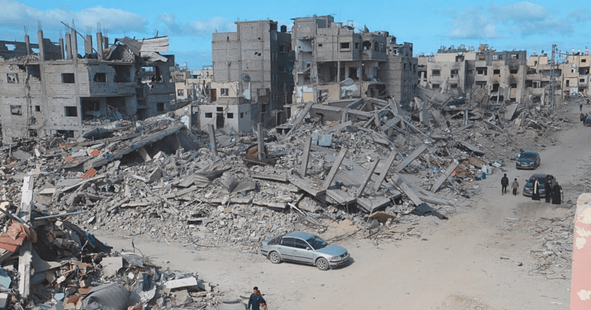
I got curious about this, so I went to Google Maps and started poking around with their satellite images. And I gotta say, what I'm finding doesn't support this claim. I mean, there's definitely a lot of damage. Some areas are flattened. For example, the area
Al Mughraqa looks pretty leveled. But the area
Maghazi looks almost untouched. Nor is Maghazi alone in that regard. Play around on Google Maps, you'll find plenty of places that match both of the above.
Gaza has absolutely seen a lot of damage, and some areas have been flattened. But the claim that it's almost totally flattened doesn't match what I can find myself. Now, I'm not sure exactly what the date on those images are. But Google is claiming copyright 2025, so they can't be more than a few months old. And nothing in the news suggests to me that all that much has changed since the start of 2025 and now. So if you think it's been totally flattened, I have to ask, where are you getting that from? Because that's not what I see when I try to find out for myself.